
Fly VFR with total
situational awareness.
GPS Air Navigator turns your Android phone or tablet into a real-time moving map for VFR flying — airspace, terrain, weather and routes, all in the cockpit, online or fully offline.
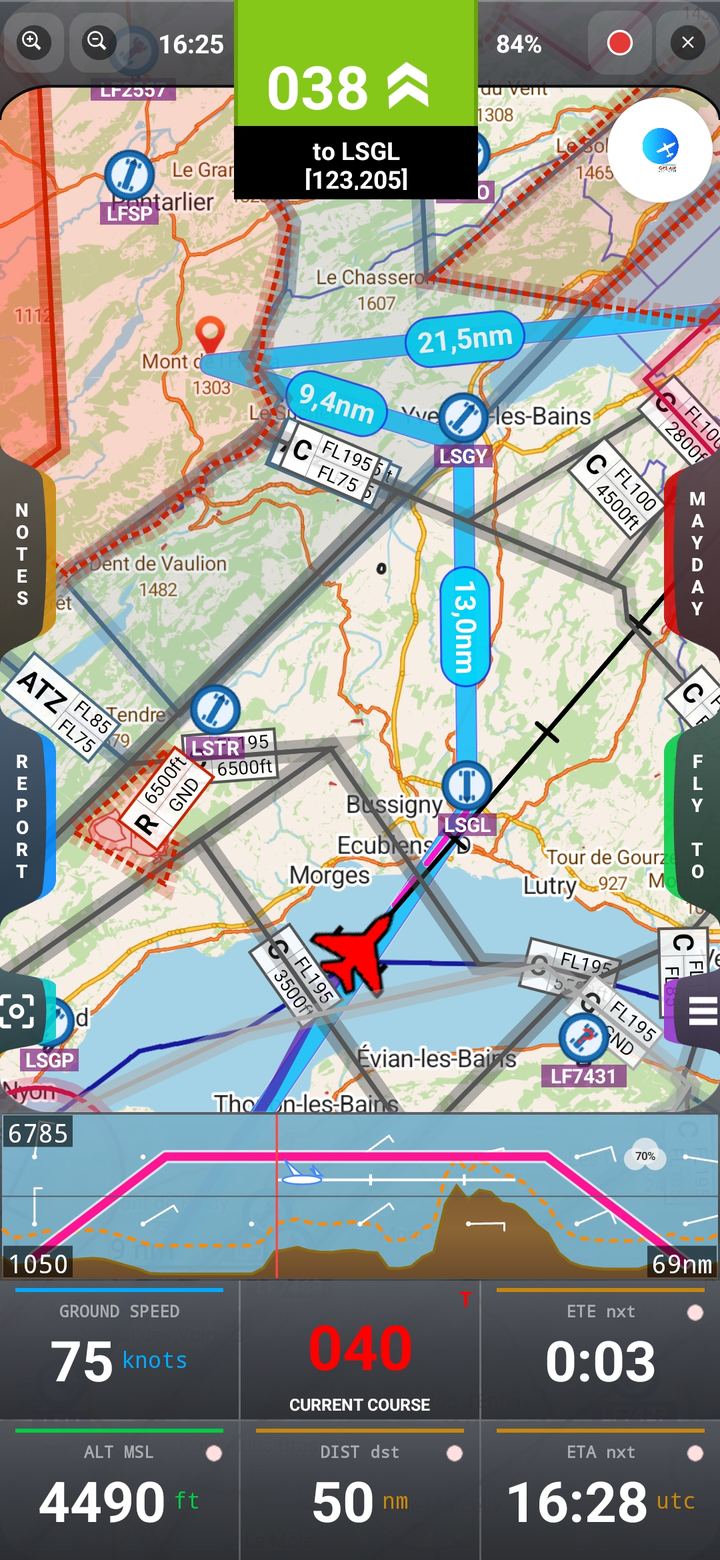
Everything in the cockpit
One app, every VFR flight tool you need
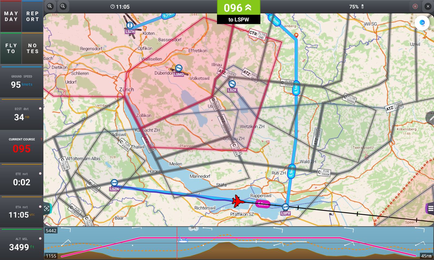
Built from the ground up for VFR pilots — the features that matter in the air, kept fast and legible in bright sunlight and turbulence alike.
Real-time moving map
Vector and raster VFR charts, with offline coverage across multiple continents — no signal, no problem.
Airspace awareness
Colour-coded CTR, TMA, R, P, D, ATZ, RMZ and TMZ zones, with proximity alerts before you get close.
Terrain profile
Live elevation graph ahead of the aircraft, with collision warnings relative to your current altitude.
Weather & NOTAM
METAR, TAF and NOTAM for any airfield, plus GRAMET terrain-weather charts along your route.
80,000+ waypoints
A global aviation database, plus unlimited user waypoints you create, edit, import and export.
Routes & Fly To
Build multi-leg routes with ETE/ETA, Direct To, Depart, and drag route points straight on the map.
Flight logbook
Automatic flight recording with statistics, aircraft and pilot profiles, and shareable flight reports.
True or Magnetic North
Switch your navigation reference in one tap, with live magnetic declination for your position.
MAYDAY
One tap shares your exact position and starts a route to the nearest safe landing point.
Map layers
Toggle track, compass, airspace and terrain overlays independently to keep the map exactly as clear as you need.
Import / export
Move your waypoints and routes between devices, or share them with other pilots in seconds.
All your devices
One license covers every Android phone and tablet signed in with your Google account.
See it in flight
A cockpit-ready interface
Designed for quick glances at arm's length — high-contrast colours, large touch targets and a dark theme that's easy on the eyes at dusk.
Moving map
Airspace + terrain, live
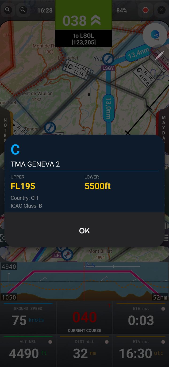
Airspace detail
Limits & activation
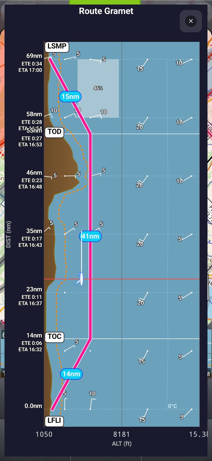
GRAMET
Terrain + weather along route
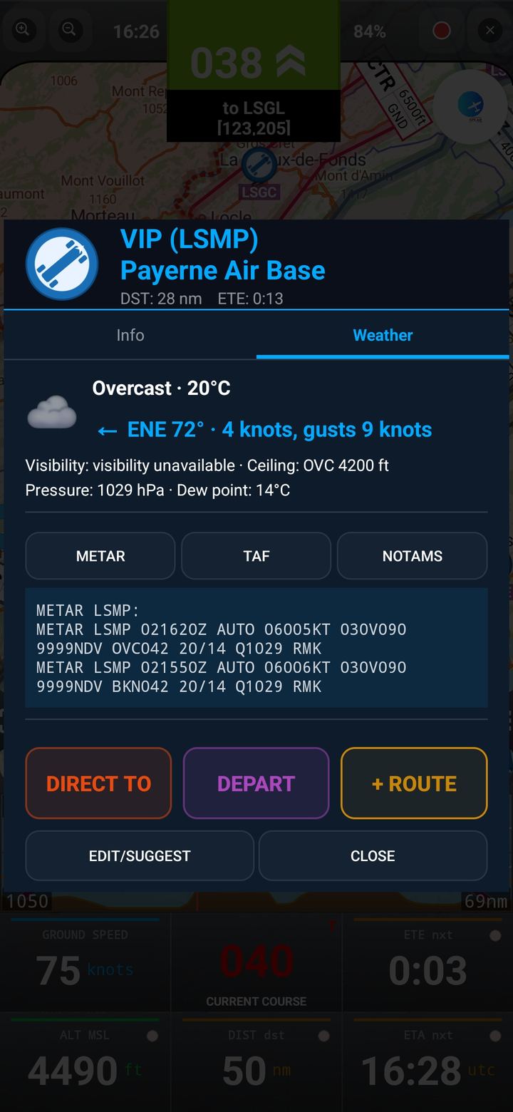
METAR / TAF
Weather at any airfield
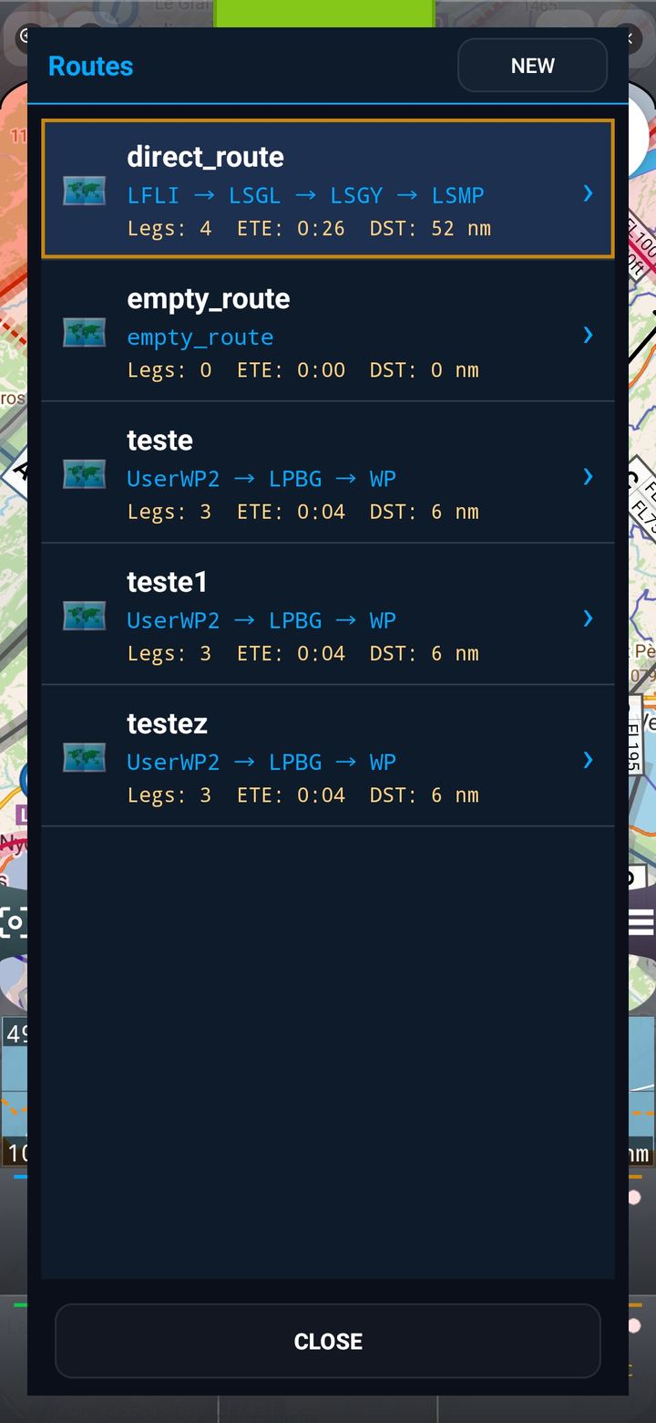
Routes
Multi-leg flight planning
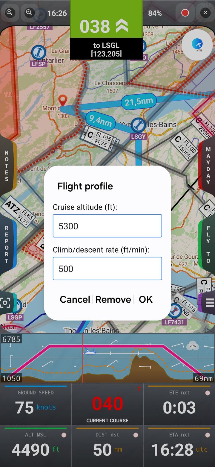
Flight profile
Speed & altitude graphs
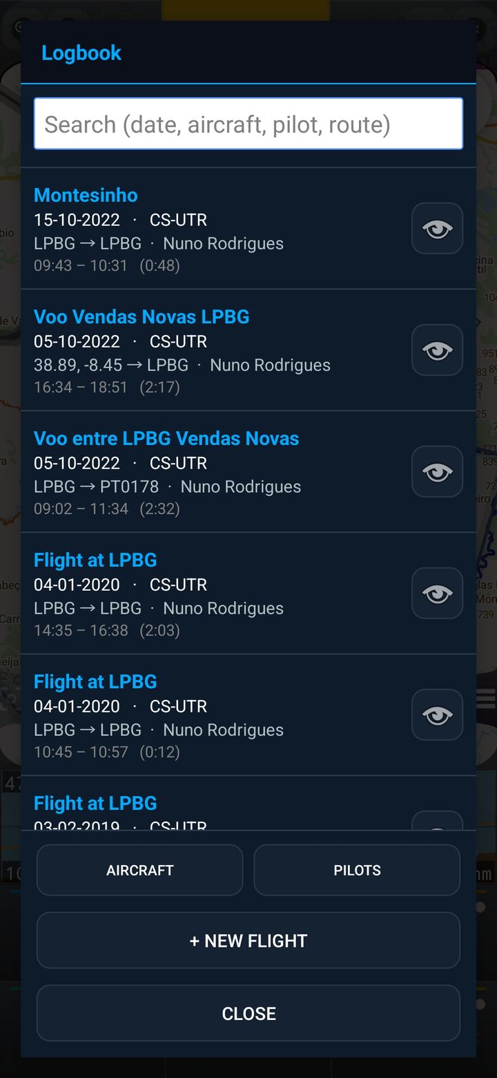
Logbook
Every flight, recorded
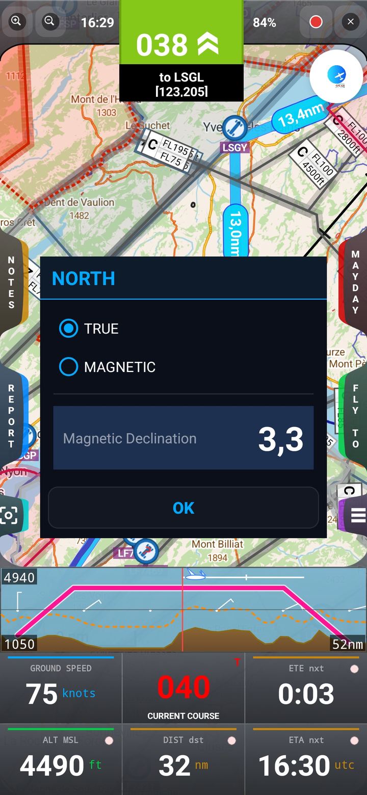
North mode
True or Magnetic
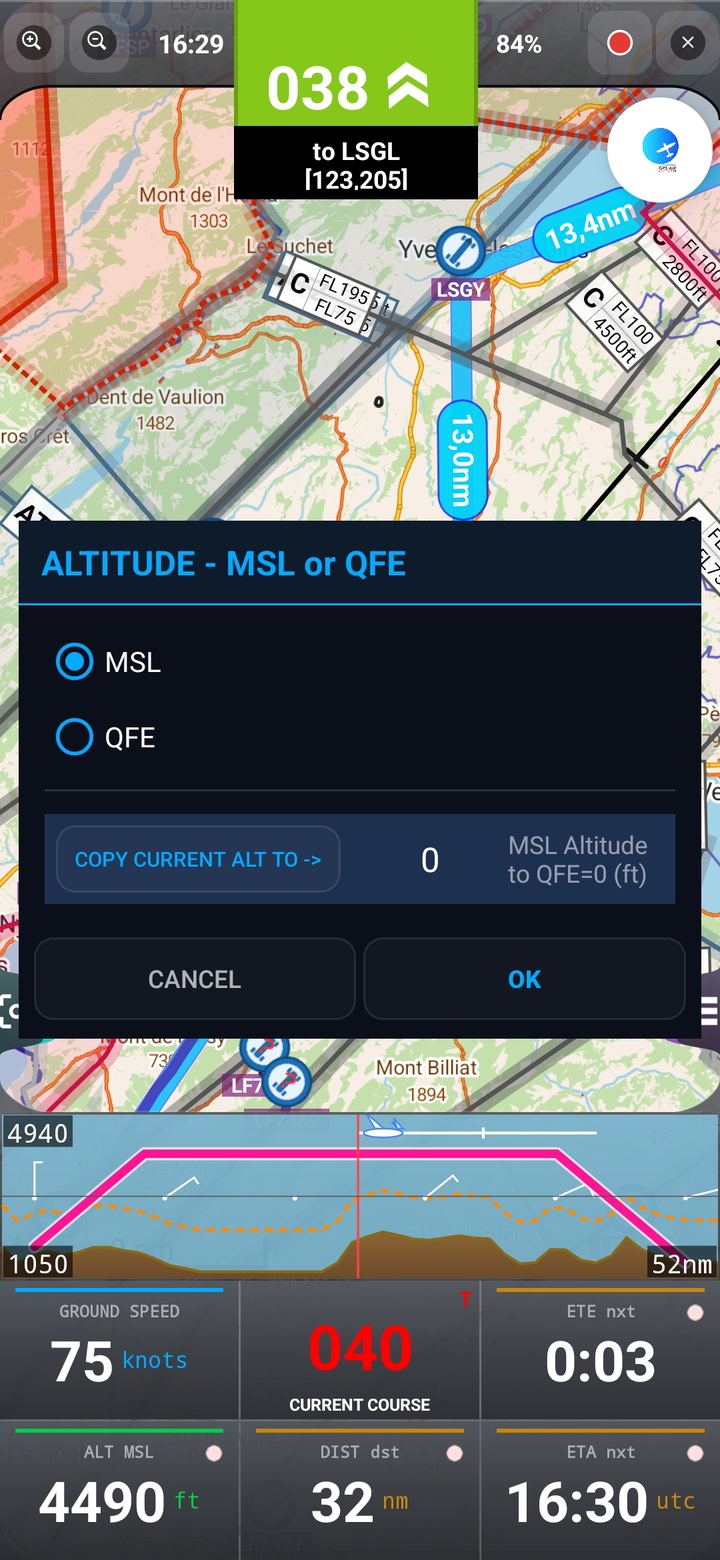
MSL / QFE
Altitude reference
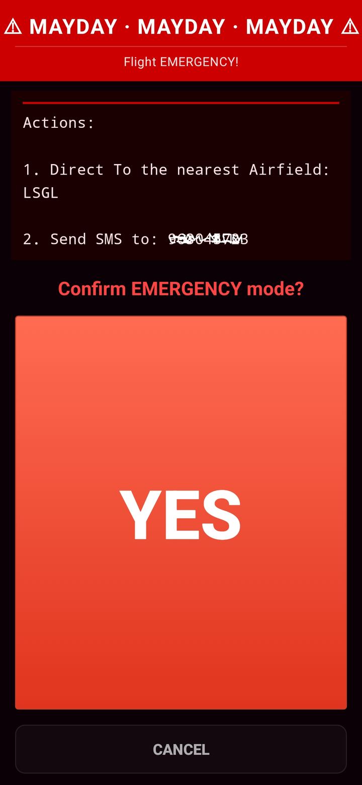
MAYDAY
Emergency position
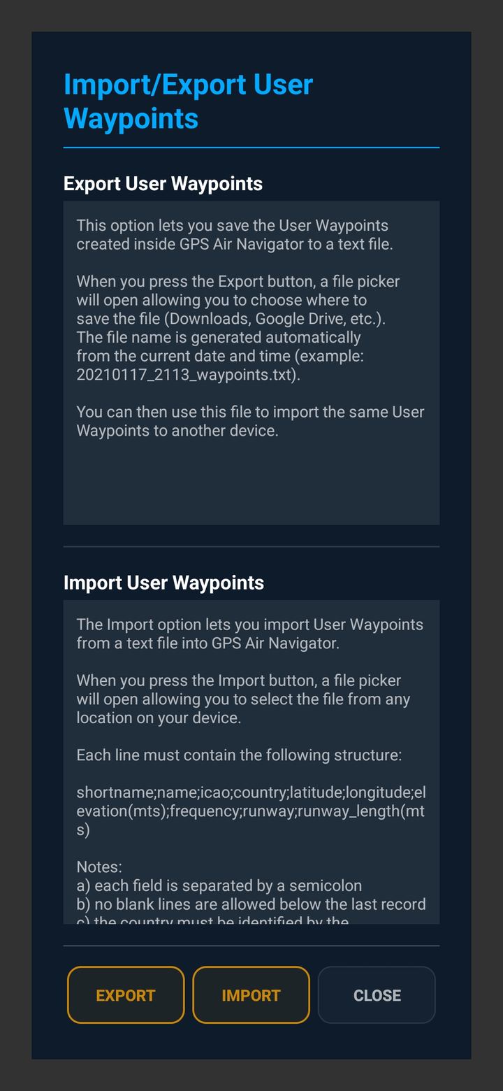
Import / export
Share waypoints
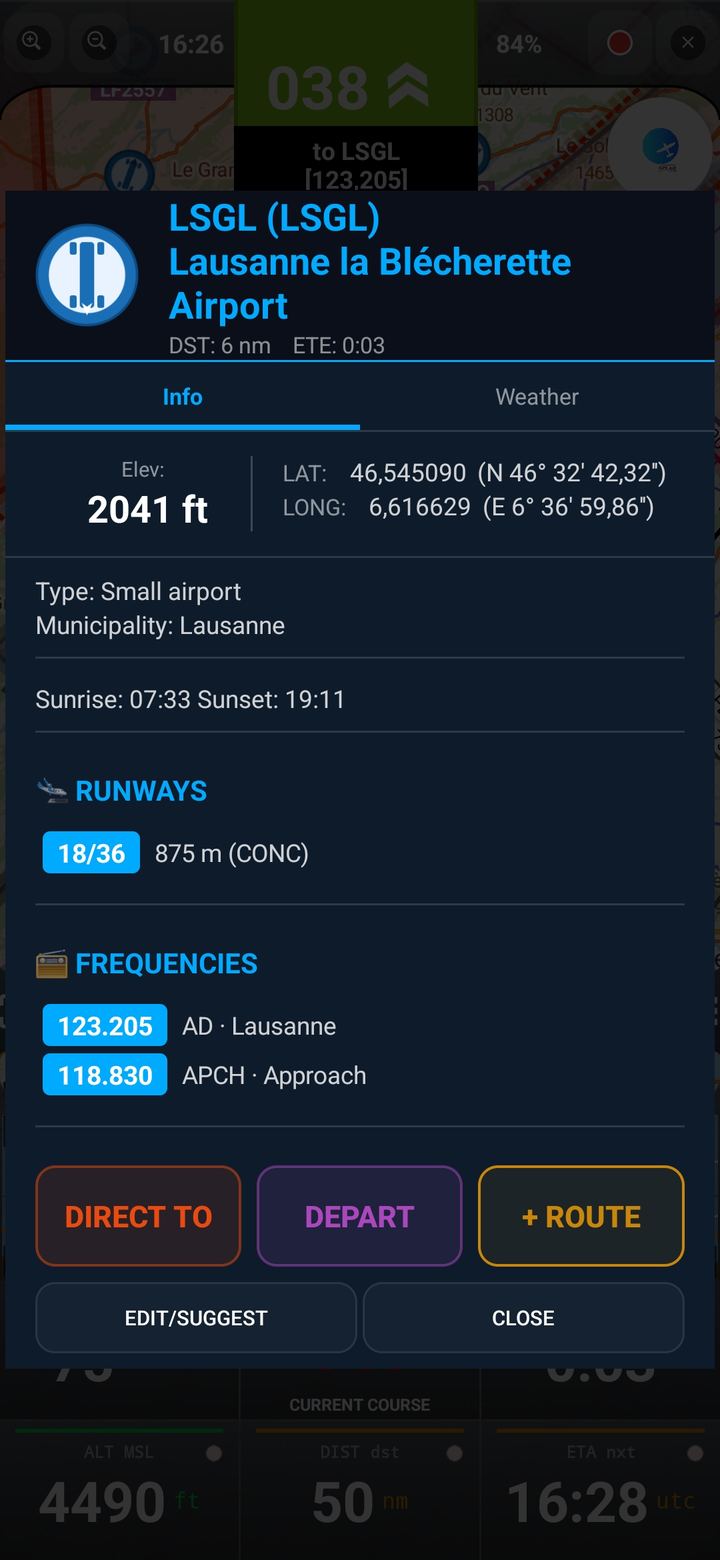
Waypoint info
Runways & frequencies
← swipe to see more →
Simple pricing
Try it free. Fly with it forever.
Every feature is unlocked during the trial. Prices are set and billed through Google Play and may vary by country — see the exact amount on the purchase screen.
Free Trial
- Full feature set unlocked
- Up to 2 user waypoints
- 20-minute flying sessions
- No account or card required
Annual Subscription
- Unlimited use, no session limits
- Unlimited user waypoints
- All features included
- Works on all your Android devices
Lifetime Licence
- Pay once, use forever
- Unlimited user waypoints
- All features included
- Works on all your Android devices
Need a hand getting started?
The Quick Start Guide walks through every screen — from your first route to reading airspace and terrain on the map.